Monitor Rivers, Forecast Energy,
and Optimize Operations
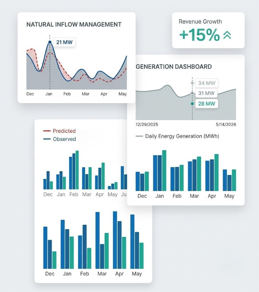
Access real-time river conditions, weather observations, discharge forecasts, and energy predictions in one platform.
Discharge Prediction & Inflow Tracking
AI-powered daily discharge forecasts keep you ahead of inflow variability. Our hydrological models trained on station-specific climate data deliver river flow predictions so operators can plan generation schedules with confidence.
- Real-time discharge and energy visualization
- 25+ day rolling forecast window
- Climate-driven hydrological modelling
Energy Forecasting & Production Planning
Convert discharge forecasts directly into energy output estimates. The built-in Energy Forecast Calculator lets you set net head, duty cycle, and date range to instantly compute expected daily and total MWh generation.
- Daily & total MWh estimates from predicted discharge
- Adjustable net head, efficiency & duty cycle inputs
- Monthly forecast table with completion status
Ground Sensor Terminal & Real-Time River Data
Our deployed Ground Sensor Terminal continuously measures runoff river conditions in real time. Sensor data is uplinked to satellite, received at the Ground Station, and displayed directly on the web portal — giving operators live visibility into river state without manual site visits.
- Real-time water depth monitoring via ultrasonic level sensor
- Solar-powered ESP32 terminal with satellite uplink
- Real time data through the web portal
Watershed Delineation & Analysis
Delineate precise catchment boundaries anywhere in Nepal using high-resolution DEM data. Generate full watershed reports covering land use, population, buildings, and administrative units.
- Click-to-delineate on interactive map
- High-resolution DEM — sub-100 m resolution
- Land use, LULC & population analytics